

Protecting your land is simple — and completely free of charge.
Discover the project that helps you protect what’s yours while also safeguarding the greatest asset we all share: the Portuguese territory.
What is BUPi?
BUPi (Digital Land Cadastre) helps owners of rural and mixed-use land to identify, define the limits of, and register their land.
We aim to address a long-standing challenge: the lack of knowledge about our territory and the difficulty in taking preventive measures to protect it.
In doing so, we help citizens protect what belongs to them by securing their property. At the same time, we safeguard what is the most valuable asset we all share — the Portuguese territory.
Who can help?
Qualified Technician
Find a legally qualified technician at a BUPi Desk. Check the list
Check BUPi's participating municipalities and their location. Find a BUPi desk here.
Land Registry Technicians
Find a land registry technician within your municipality. Check the list
Certified Solicitor
You can also request help from a certified solicitor. See the updated list here
Why should I identify and register my land?

Protect what is yours
Identifying and registering land is essential to safeguarding your property rights — and the rights of your descendants.

Save time when buying or selling
Registering rural and mixed-use land is required for all buying and selling processes. If your land is already registered, the process will be quicker and more efficient.

Free until September
Until the 30th of September of 2026, registering identified land is completely free of charge — so by identifying and registering your property now, you can avoid this future cost.

Protect what is ours
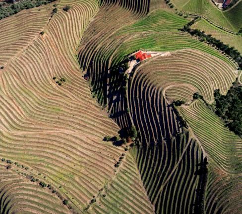
By protecting what is yours, we protect what is ours. Knowing our land makes it possible to apply measures for its conservation and enhancement — such as wildfire prevention.
How can I identify and register my land?


BUPi Platform
The BUPi platform allows you to complete the identification process entirely online — without leaving your home.
BUPi App
The BUPi App helps you locate your land even when you can’t identify it on a map. Just take your phone with you and walk the land.

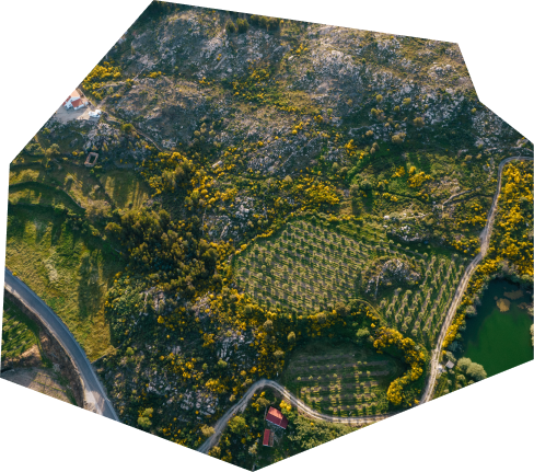
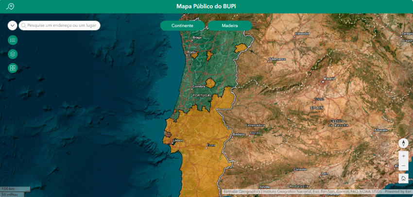
Ready to explore the Portuguese territory?
Navigate the map of Portugal, view already identified properties and their boundaries.
We bring together multiple sources of information so you can explore
the whole territory in one place.
Try browsing your municipality or search for a specific location.
Algorithms from the future,
benefits for today
Because our mission is to contribute to land identification, we continue to innovate and develop new technologies that help identify land — even when owners struggle to locate it.
Explore BUPi’s initiatives that create value for our territory.
What we have accomplished
Carregando dashboard...
Stay up to date with all BUPi news
Keep up with the latest updates, partnerships, features, and results of the project.


.png)
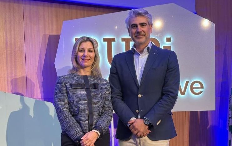
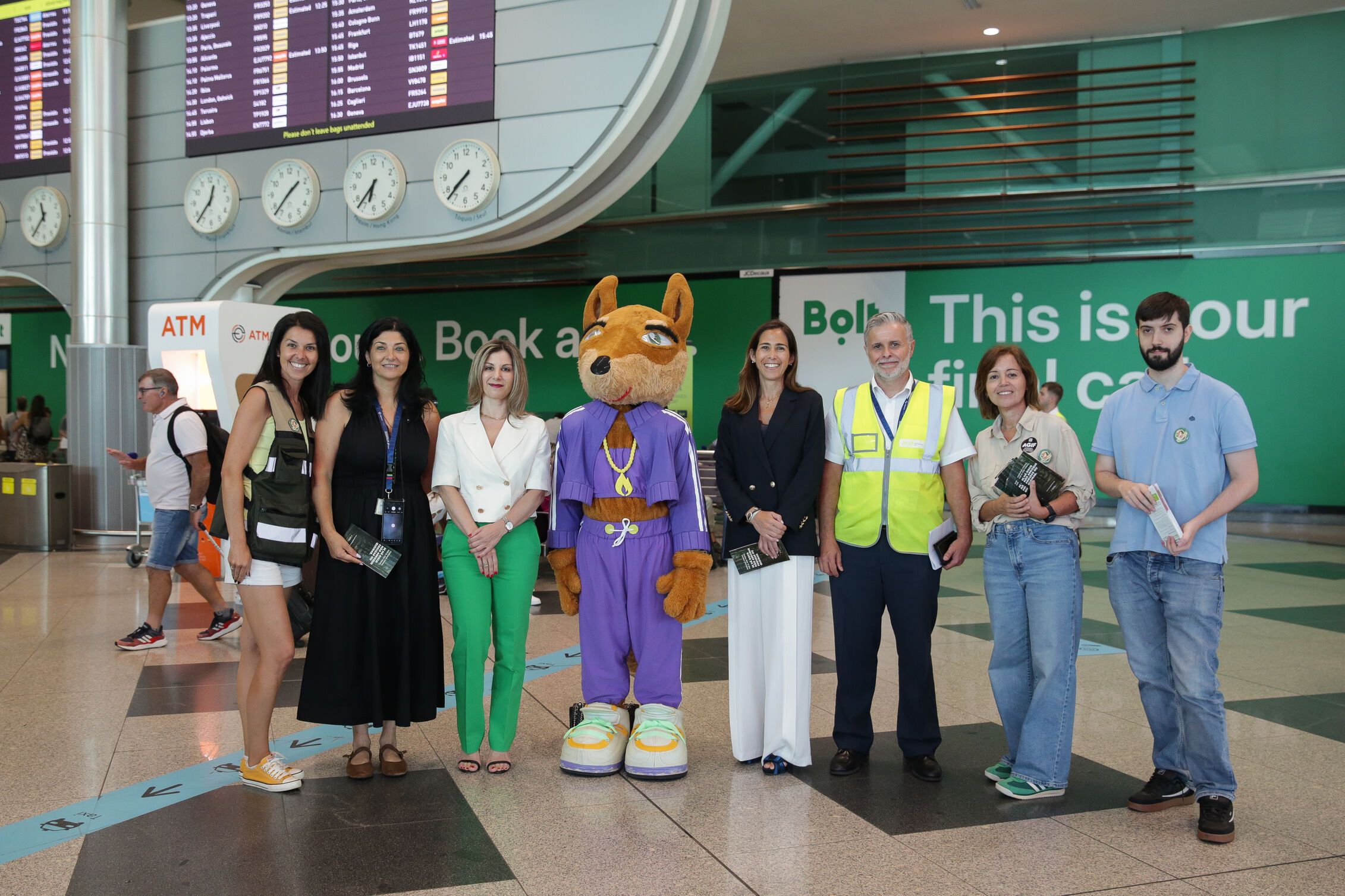
"BUPi Envolve" apresenta a nova plataforma em Viseu
A cidade de Viseu acolheu a 19.ª edição do BUPi Envolve. A iniciativa decorreu no Auditório da Escola Superior de Tecnologia e Gestão e juntou Técnicos Habilitados, municípios e entidades parceiras para um momento de balanço, partilha de boas práticas e apresentação de desenvolvimentos da plataforma.
Subscribe to the BUPi newsletter
Stay informed with all the latest news from BUPi and receive monthly updates in your inbox.
