

Help
This is your help area. Here you’ll find access to frequently asked questions, the BUPi glossary, and user guides for the BUPi platform and App.
You can also find the contact form or information about the BUPi helpdesks.
Frequently Asked Questions
Online
You can identify the limits of your property online by logging in with your Citizen Card (requires a card reader and plugin) or with your Digital Mobile Key (CMD) and respective PIN codes.
BUPi Desks
If you need the support of an authorised technician or do not have electronic authentication, you can identify your properties at a BUPi Desk. Check the list of BUPi Desks in the municipality where your property is located.
To identify properties
If you identify your properties at a BUPi Desk, with the support of a qualified technician, the cost per RGG is:
• €15 per RGG, up to your 9th RGG;
• €10 per RGG, from your 10th RGG onwards.
Identification carried out entirely online, on the BUPi platform, is free of charge.
To register property ownership
Please check the costs of land registration with the Land Registry Office.
Online
To identify the location and limits of your property online, you must log in using your Citizen Card and PIN codes. Alternatively, you can use your Digital Mobile Key (CMD), with access to the associated phone.
You must also have your Tax Authority Land Certificate, which contains the matrix numbers of the properties you wish to georeference.
If you already have a GPS file with your property's coordinates, you can upload it to the BUPi platform. If not, you can identify your property directly on the map.
BUPi Desk
When visiting a BUPi Desk, you should bring your Citizen Card and the Tax Authority Land Certificate showing the matrix numbers of the properties to georeference. Alternatively, you can provide the matrix number and your NIF so that the authorised technician can retrieve the certificate via the Tax Portal.
You should be able to locate your property on the map and, if possible, bring a GPS survey of the property’s limits. If you're unable to identify your property, our technicians at the BUPi Desk can assist you.
For more information, visit the Documentation page.

Glossary
We understand that some technical terms may be unclear. Check the glossary here to ensure you have no doubts.
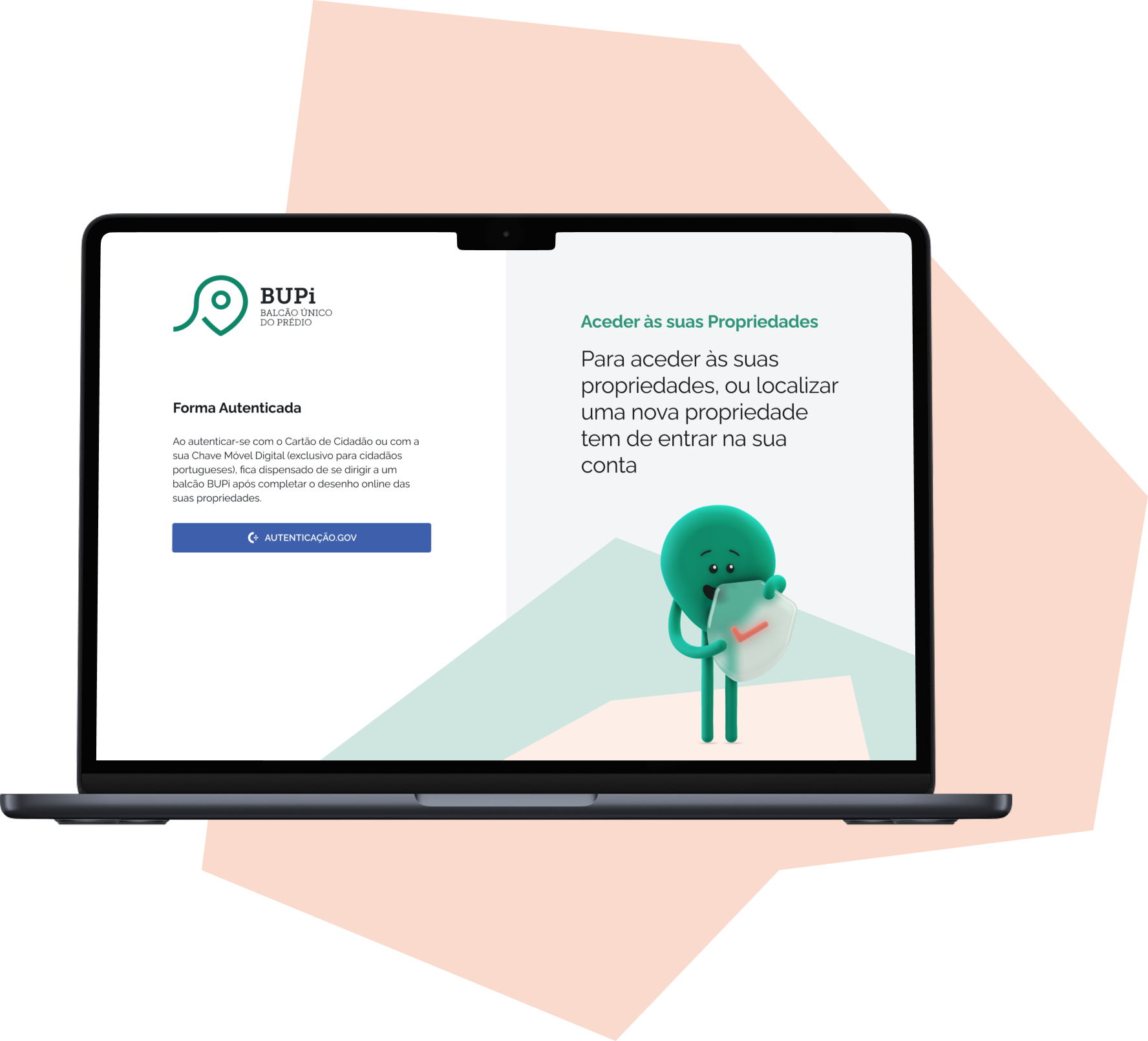
BUPi platform
The BUPi platform allows you to carry out the identification process of your rural and mixed-use land online.

BUPi App
The BUPi App helps you locate your property on the map, either using the GPS feature or by marking it directly on the App's map.
