IFAP — Institute for the Financing of Agriculture and Fisheries
IFAP — Institute for the Financing of Agriculture and Fisheries
Find out how IFAP uses BUPi data to ensure more accurate subsidy allocation.
What is the IFAP?
IFAP is the Portuguese authority responsible for managing and distributing agricultural subsidies.
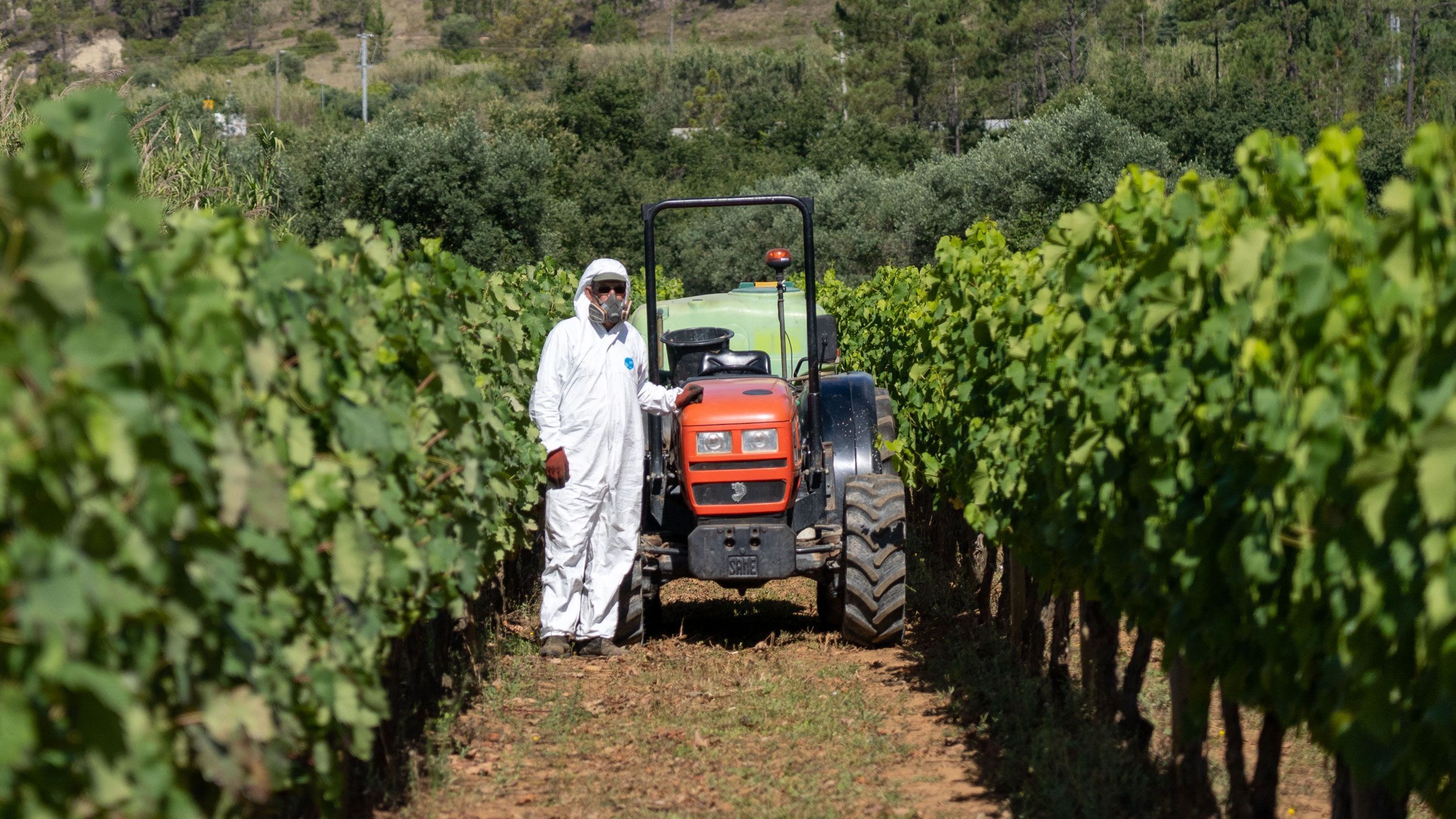
The process
Until now, IFAP mainly relied on orthophoto maps — aerial images combined with accurate geographic data — to draw agricultural plots. After this, land use classification was carried out.
However, this information could quickly become outdated and/or incomplete, making it difficult to allocate subsidies correctly.
What changed with BUPi?
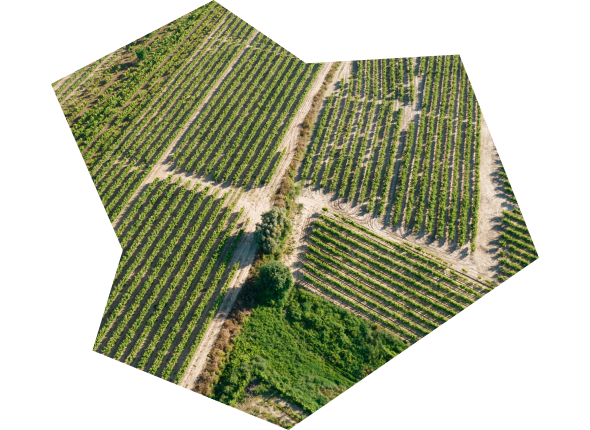
IFAP now uses georeferenced data from BUPi, which offers a more reliable and up-to-date view of land ownership.
With this new data layer — which includes the size, shape, and limits of rural and mixed-use properties — land use classification can be carried out with much greater accuracy.
This exchange of knowledge ensures that subsidies are allocated accurately and precisely.


Now we have a fourth layer — the plot outline, provided through BUPi — which adds new information to what we already had.”
IFAP
More to explore
Check out these related pages: