The BUPi project
The BUPi project
BUPi (Digital Land Cadastre) was launched as a pilot in 2017, with the goal of understanding the Portuguese territory through a simple and innovative approach.
We wanted to respond to a long-standing challenge: the lack of knowledge about our land and the difficulty in taking preventive measures for its protection.
Explore the path we’ve taken so far and what we’ve already achieved.
Our goals


We began work at the end of 2017 and, by 2019, the effort paid off: BUPi was authorised to expand across the country.
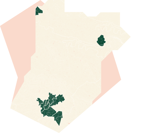
The 10 municipalities
These were the municipalities where BUPi first took shape:
- Alfândega da Fé
- Caminha
- Castanheira de Pera
- Figueiró dos Vinhos
- Góis
- Pampilhosa da Serra
- Pedrógão Grande
- Penela
- Proença-a-Nova
- Sertã
The results


Report regarding the SLCS and BUPi - 2025
The report regarding the Simplified Land Cadastre System (SLCS) and Digital Land Cadastre (BUPi) sets out the development of that framework in relation to georeferenced graphic representation (RRG), identifying the progress of RRGs since 2017; in the area of special justification and registration procedures; within the administrative conciliation procedure; and in terms of the “known area” indicator. It also describes the significant development of BUPi’s Geographic Information System, as well as the main projects carried out for the purpose of implementing the cadastral information system.
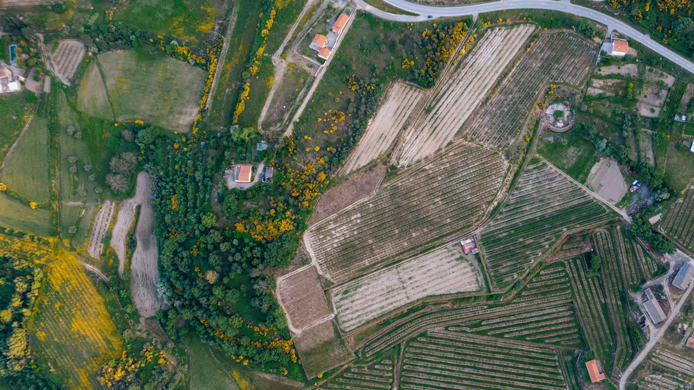
How BUPi is impacting Portugal
Knowing our land offers advantages across multiple areas. Data collected through the BUPi platform is integrated into the BUPi Information Systems, which are then made available through an interoperability module shared by various services. BUPi helps the State understand the territory and makes that knowledge accessible to all — including citizens.
BUPi allows citizens to:
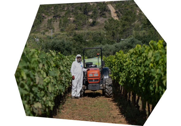
- Protect what is theirs: Identifying and registering land is essential to secure property rights.
- Save time when buying or selling: Land registration is mandatory for transactions involving rural and mixed-use properties.
- Benefit from free registration until September 2026: Land registration through BUPi is completely free of charge until September 30th, 2026.
- Protect what belongs to all of us: Understanding the territory supports preventive conservation, such as wildfire prevention.
Knowing property limits and ownership is key for municipalities to plan and manage their territory. This knowledge enables sustainable development and value creation for communities.
Collaboration among public administration entities enables more efficient use and sharing of territorial information across different domains.
It also spares citizens from having to present information that is already held by the State.
The BUPi interoperability platform accelerates the creation of new knowledge layers within the public administration, supporting better planning and resource management.
Synergies between scientific institutions and higher education have streamlined the identification of territory, enriching existing databases with new data layers and creating new sources of information.
Combining and processing data through artificial intelligence systems will extract even more knowledge, generate economic opportunities and increase employment — particularly in these regions — helping to reduce inequalities.
.png&w=3840&q=75)
The eBUPi team
eBUPi (Mission Structure for the Expansion of the Simplified Land Information System) is the team that manages the BUPi project.
Its mission is to continue expanding the project nationwide and develop the information and interoperability systems that support BUPi.

The future of BUPi
At BUPi, we want to keep growing and delivering value for citizens, municipalities, and institutions. Our 2025 Action Plan includes objectives to better support citizens in identifying their land and new ways of using this data to develop the country.
See how we plan to expand the project and generate even more value.
BUPi continues to innovate and strengthen our understanding of Portuguese territory.
Assessment Report on BUPi Measure - 4
Report on the impact of wildfire risk mitigation conducted by the CES and FEUC consortium.

Assessment Report on BUPi Measure - 5
Report on the impact of the management of rural properties conducted by the CES and FEUC consortium.
More to explore
Check out these related pages: